FASTER, SAFER, AND COST-EFFICIENT WITH DRONE-POWERED SOLUTIONS
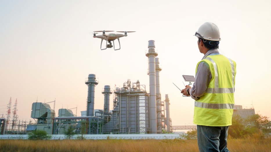
Our solutions span from 3D mapping and surveying of land all the way through progress monitoring to inspection. Spanning a wide range of industries including construction , agriculture , military and oil and gas. You can depend on us for the highest accuracy and high reliability results as OSTA TECH is the leading drone solutions provider in the industry.
We follow the following process/steps to ensure we give our customers the best solution that will be objective to their needs.

Faster
Drones can cover massive areas in a short period with zero downtime to operations.
Accurate
One km2 of drone data contains 44 million points of data, compared to just a few thousand or hundred points of data.
Safer
Survey your site from a safe distance, remove the need for a surveyor to put themselves in danger.
All of the data provided is compatible with existing GIS software and our highly trained team know exactly how to support you in using this data effectively.

Time-Efficient
Drones can track progress and generate reports in record time, giving you access to readily available and actionable data.
Cloud Reporting
Share collaborative maps & reports with your team enabling your engineers to inspect the site remotely- increasing safety & efficiency.
What you get:

Drones enable you to conduct aerial inspections at a higher frequency for lesser costs, ensuring that your operations are safe and have zero room for error or shutdowns. Using multiple sensors like RGB, Thermal & UV drones provide comprehensive data from the peaks of chimneys to the undersides of bridges to ensure your operations suffer no disruptions.

We have now arrived at a time where drones can capture stunning aerial imagery, including aerial photography, aerial video or aerial filming for us, so you can now see from that different perspective in a cost effective way from the comfort of your own office chair if you wish!
Thanks to the latest equipment and expertise we employ, we produce top quality video. Our professional aerial imagery services are perfect for:

Our pilots and operators have years of experience and are qualified to fly in KENYA – in other words they have met the most exacting standards. To ensure a smooth flight for you, we have the experience and knowledge needed top gain permission from the corresponding authorities in Kenya . We will take care of that side of operations as part of our commitment to you.
Unlocking Africa’s potential with Digital Technology.
Mon – Sat, 8AM – 5PM
Sunday: Closed
OSTA TECH Solutions lead digital transformations for clients by modernizing and integrating their mainstream digital technologies areas focusing on Security systems , Satellite connectivity , Specialized Drones and Fleet management services .
© OSTA TECH LTD. All Rights Reserved.